Zoning is a way of regulating land use by assigning parcels of land to categories that include a specific range of permitted uses and densities, as well as lot size and siting regulations.
Zoning bylaws are authorized under section 479 of the Local Government Act (LGA); section 479 does not provide the authority to regulate matters such as nuisance, colour, architectural theme or aesthetics. Zoning bylaws cannot regulate the people who may occupy a building nor the relationship between the occupants.
What is Land Use & Zoning?
Land use provides direction on managing a region’s land and resources. It is important for ensuring successful social, economic and environmental outcomes for an area.
Zoning is a way of regulating land use by assigning parcels of land to categories that include a specific range of permitted uses and densities, as well as lot size and siting regulations. For example, zoning stipulates restrictions like the number of dwellings allowed on a lot or whether commercial activity is permitted on a lot.
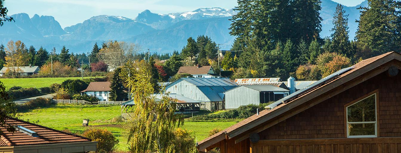
Land Use and Zoning in the CVRD
Land Use and Zoning in the Comox Valley Regional District (CVRD) is regulated by the Zoning Bylaw No. 520. This bylaw applies to all three electoral areas within the CVRD (Area A, B, C). The municipalities of Courtenay, Comox and Cumberland have their own zoning bylaws.
The rules and regulations set out in Bylaw No. 520 have been determined based on long-term plans like the Regional Growth Strategy and the Rural Comox Valley Official Community Plan. Each of these tools are important for guiding future growth and change in the three electoral areas of the CVRD.
Find My Zoning
Looking to find out how your property is zoned?
Agricultural Land Reserve
The Agricultural Land Reserve (ALR) is a provincial designation over land that is regulated by the Agricultural Land Commission Act.
For more information about the ALR, including answers to many frequently asked questions, visit the Agricultural Land Commission website at www.alc.gov.bc.ca.
For more information on agricultural land in the Comox Valley, refer to the Comox Valley Agricultural Plan.
More Information
- Review the Comox Valley Zoning Bylaw No. 520
- Learn more about the Regional Growth Strategy
- Learn more about the Rural Comox Valley Official Community Plan
- Learn more about Development in the Black Creek Oyster Bay Water Service Area