History
The province developed an interpretive forest site on this property in 1996. As part of the divestiture of recreation sites, the province first offered the trails to the Comox Valley Regional District (CVRD) to manage in 2002. The CVRD signed a ten-year recreation site/trail agreement in 2014 extending the partnership until March 31, 2024. The agreement allows the CVRD to construct and maintain the trails in the forest. Current provincial partners are responsibility of Recreation Sites and Trails BC (RSTBC) of the Ministry of Forests Lands and Natural Resource Operations.
Bob Webb was a Dove Creek resident who loved to ride horses. For many years he maintained the trail between Brazier and Burns roads and campaigned to have the One Spot Trail built so horses could be ridden away from roads.
Information
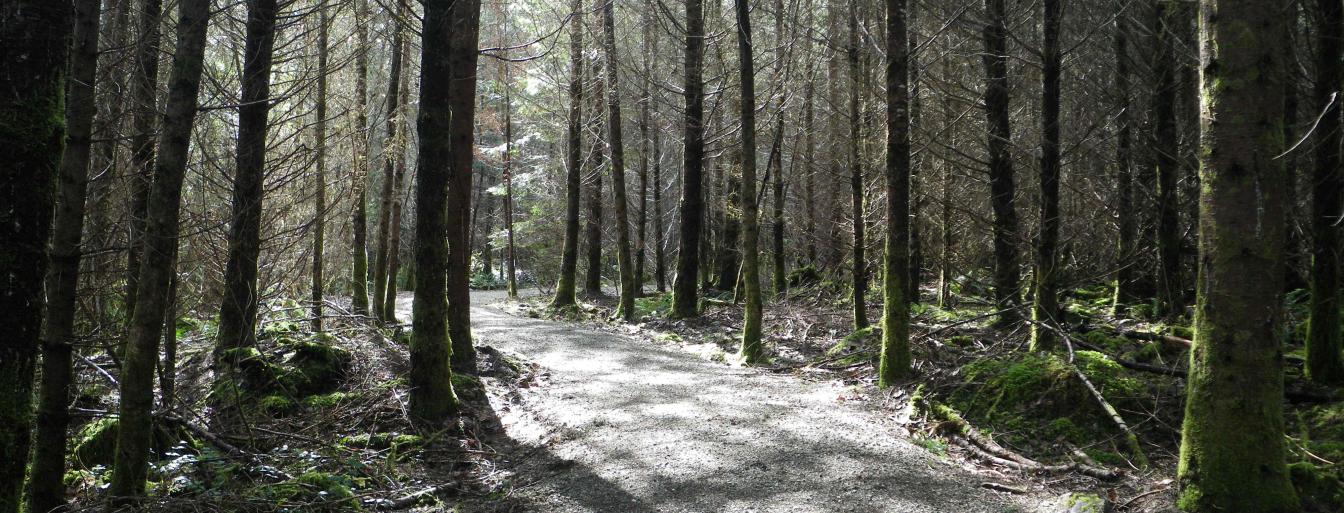
For an easy hike through tall trees, sword ferns and huckleberry bushes, go for a wander at Wildwood. Located just seven kilometres (a 10 minute drive) from downtown Courtenay, several trail heads provide convenient access to this 276 hectares (682 acre) block of wilderness. Go for a short outing or enjoy a three-hour loop. You are just as likely to encounter a bear here as you are other trail users in this quiet forest retreat.
The Wildwood Forest is Crown land reserved for forestry, wildlife and recreation. The Comox Valley Regional District (CVRD) manages the trails in partnership with Recreation Sites and Trails BC (RSTBC) of the Ministry of Forests Lands and Natural Resource Operations. The RSTBC first improved the trail network in 1996, with the CVRD stepping in to help maintain the facilities in 2002. The trails follow logging roads, old rail grades, utility easements and some narrow meandering dirt tracks.
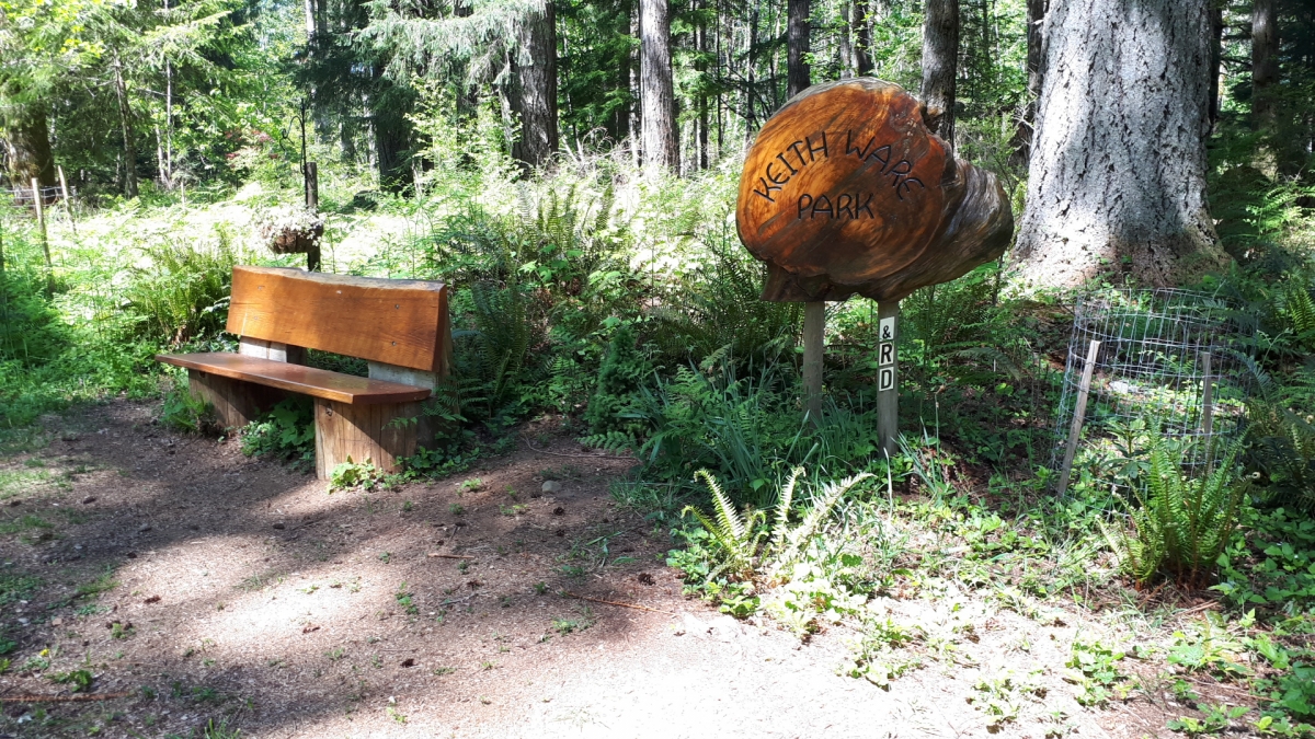
The Bob Webb Trail links Burns and Brazier Roads, connecting to another eight kilometres of trail, along the historical One Spot Trail. Along the Bob Webb Trail near Brazier Road look north for a footpath through a cluster of stout Douglas firs. Some of these trees are more than a metre in diameter and are protected under a conservation covenant. This grove is known as Keith Ware Park.
The Wildwood Interpretive Forest is identified as an important upland habitat corridor for movement of wildlife in the Dove Creek area. It forms both a north/south corridor and an east/west connection between Seal Bay Park and Strathcona Provincial Park.
The southern half of the forest is a naturally regenerating second-growth forest estimated to be in the 75-year age range. Douglas fir, western hemlock, big-leaf maple and Sitka spruce dominate the forest, with a few grand-fir and black cottonwood. Portions of the northern half have been logged and replanted, first in 1989 north of Burns Road and then around 1994 south of Burns. Common understorey shrubs include red huckleberry and oceanspray.
Location
- Entrances available at Piercy, Burns, Wildwood, Forest Hill and Brazier Roads
- Puntledge – Black Creek (Electoral Area C)