History
The Comox Valley Regional District (CVRD) first received a licence of occupation for Mt. Geoffrey Nature Park from the Province in August 1989. In 1992, the Province offered the CVRD a free Crown grant, which was registered on March 12, 2004. In 2003, two additions were made to the park. The CVRD purchased 7.4 hectares of land from the Cross family, who donated an additional 16.7 hectares as an eco-gift. The acquisition of these properties established a link between Mt. Geoffrey Regional Nature Park and the Mt. Geoffrey Escarpment Provincial Park to the south. In 2005, an additional 5.76 hectares was acquired via a density bonus subdivision completed by the Yeomans family at the end of Lea Smith Road.
Mt. Geoffrey is named after Admiral Geoffrey Hornby of the Royal British Navy.
Information
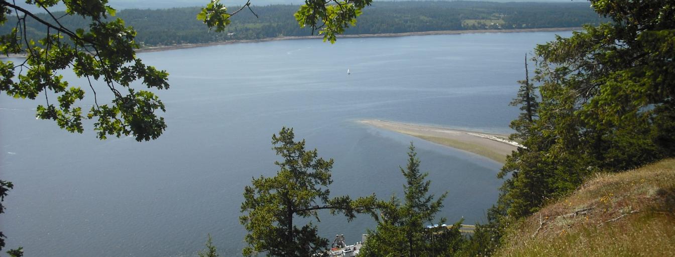
Mount Geoffrey, with its 330-metre (1,080 foot) summit, is the highest point on Hornby Island. Mt. Geoffrey Nature Park includes a variety of ecosystems, from the very dry Arbutus escarpment face to the “rainforest-like” Sitka spruce forest at the base of the escarpment. Much of the park is second growth forest of Douglas-fir. There are spectacular views from the top of the escarpment to the east and south. See the Mt. Geoffrey Nature Park brochure.
Management Plan
In August 2017 a new management plan for Mount Geoffrey Nature Park and Crown Land Trails was completed. This updated plan builds upon the 1998 plan and is the result of extensive public consultation and review by the Mount Geoffrey Planning Committee and parks staff over several years. The purpose of the plan is to communicate a vision and goals for the park and Crown land trails, identify the natural features of the lands, recognize their environmental, recreation and cultural values and outline an implementation strategy to manage the natural environment and trail network for public enjoyment, recreation and conservation into the future. See the Mt. Geoffrey Management Plan
Location
- 1675 Lea Smith Road with entrances off the end of, Strachan and Northwind Roads, Hornby Island
- Baynes Sound – Denman/Hornby Islands (Electoral Area A)
Park Etiquette
- Leashing is optional
- The Cliff Trail follows the edge of a cliff with a steep, high drop off – all park users must exercise extreme caution and stay well back from the edge
- Horses are permitted on the multi-use trails only – there are six trails open to equestrian traffic that provide some excellent rides
Park Partners
- Parks Committee of the Hornby Island Residents & Ratepayers Association
- Mount Geoffrey Escarpment Provincial Park

